 | |
| iCyclades Guides | |
            | |
| All about the Cyclades Islands, in the Aegean Sea The collection of iPhone and iPad guides focused on the Cyclades, in Greece. 100% free, no hidden costs, no in-app purchases, no invasive advertising! It's a special project developed to support the Greek people! | |
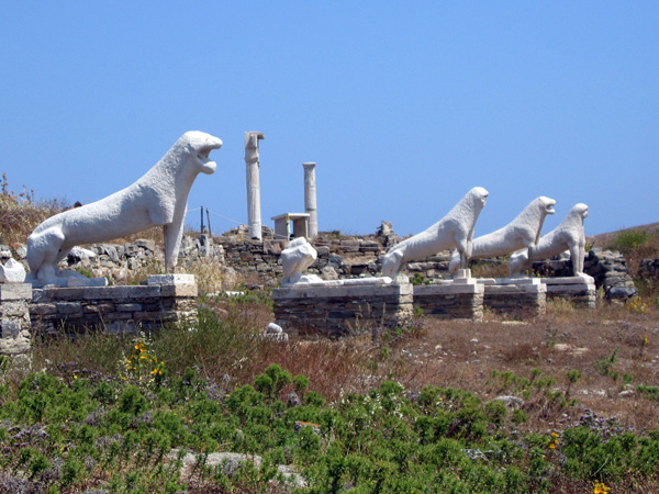
| iMykonos | |
| Latest version: 2017-07-09 | |
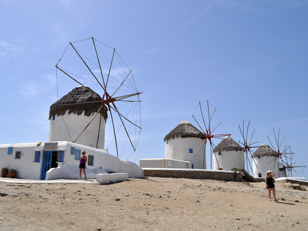
| A visual guide of Mykonos, a famous island of the Cyclades, featuring embedded maps, useful information, photos, and points of interest including beaches, utilities, and the archaeological site of Delos. Un guide visuel de Mykonos, une des plus célèbres îles des Cyclades, comprenant des informations pratiques, des photos, des cartes utilisables hors connexion et des informations sur le site archéologique de Délos. | |
| iSyros | |
| Latest version: 2017-07-07 | |
| A pictorial guide of Syros, capital of the Cyclades, featuring embedded maps, useful information, a lot of photos, and all points of interest including beaches and utilities. Un guide visuel de Syros, capitale des Cyclades, comprenant des informations pratiques, de nombreuses photos et des cartes utilisables hors connexion. | |
| iTinos | |
| Latest version: 2017-07-05 | |
| A visual guide of Tinos, a picturesque island of the Cyclades, featuring embedded maps, useful information, photos, and points of interest including beaches and utilities. Un guide visuel de Tinos, une île pittoresque des Cyclades, comprenant des informations pratiques, des photos et des cartes utilisables hors connexion. | |
| iAntiparos | |
| Latest version: 2017-07-03 | |
| Pictorial guide of Antiparos, sister island of Paros (Cyclades), featuring embedded maps, useful information, a lot of photos, and all points of interest including beaches and utilities. Guide visuel d'Antiparos, île sœur de Paros (Cyclades), comprenant des informations pratiques, de nombreuses photos et des cartes utilisables hors connexion. | |
| iParos | |
| Latest version: 2017-06-12 | |
| A pictorial guide of Paros (Cyclades), featuring tips and tricks, photo galleries, and maps you can use without connection. Un guide visuel de Paros, dans les Cyclades, avec suggestions, galeries de photos et cartes utilisables sans connexion. | |
| GreekMaps | |
| Latest version: 2017-03-16 | |
| Relief maps of all Cyclades islands and online informations with photos and useful links. No connection required for the maps, your location is displayed thanks to GPS only. Quite useful if you don't activate data roaming! Cartes en relief de toutes les îles des Cyclades, avec informations en ligne, photos et liens utiles. Pas de connexion requise pour les cartes, votre position s'affiche grâce au GPS. Très utile si vous n'activez pas le data roaming! | |
| iAndros | |
| Latest version: 2017-02-15 | |
| A pictorial guide of Andros, northernmost island of the Cyclades, featuring embedded maps, useful information, photos, and points of interest including beaches and utilities. Un guide visuel d'Andros, la plus septentrionale des Cyclades, comprenant des informations pratiques, des photos et des cartes utilisables hors connexion. | |
| iCyclades | |
| Latest version: 2017-02-14 | |
| Hub of our apps collection focused on the Cyclades, featuring maps you can use without connection. Travel information, preview of all islands, and much more. Pivot de notre collection consacrée aux Cyclades, intégrant des cartes utilisables hors connexion, de nombreuses infos utiles, un aperçu de chaque île et bien plus encore. | |
| iSantorini | |
| Latest version: 2017-02-13 | |
| A visual guide of Santorini, the most famous island of the Cyclades, featuring embedded maps, useful information, photos, and points of interest including beaches, utilities, wineries, and the archaeological site of Akrotiri. Un guide visuel de Santorin, la plus célèbre île des Cyclades, comprenant des informations pratiques, des photos, des cartes utilisables hors connexion et des informations sur la viticulture et le site archéologique d'Akrotiri. | |
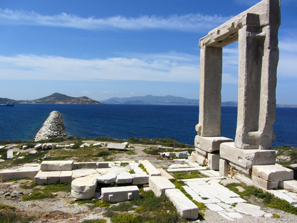
| iNaxos | |
| Latest version: 2016-12-15 | |
| A pictorial guide of Naxos, biggest island of the Cyclades, featuring embedded maps, useful information, a lot of photos, and all points of interest including beaches and utilities. Un guide visuel de Naxos, plus grande île des Cyclades, comprenant des informations pratiques, de nombreuses photos et des cartes utilisables hors connexion. | |
| iAmorgos | |
| Latest version: 2016-11-24 | |
| A pictorial guide of Amorgos, in the Eastern Cyclades, featuring embedded maps, useful information, photos, and points of interest including beaches and utilities. Un guide visuel d'Amorgos, dans les Cyclades de l'Est, comprenant des informations pratiques, des photos et des cartes utilisables hors connexion. | |
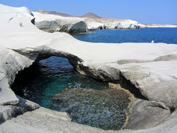
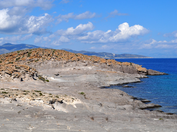
| iMilos | |
| Latest version: 2016-11-10 | |
| A pictorial guide of Milos and Kimolos, in the Western Cyclades, featuring embedded maps, useful information, photos, and points of interest including beaches and utilities. Un guide visuel de Milos et Kimolos, dans les Cyclades de l'Ouest, comprenant des informations pratiques, des photos et des cartes utilisables hors connexion. | |
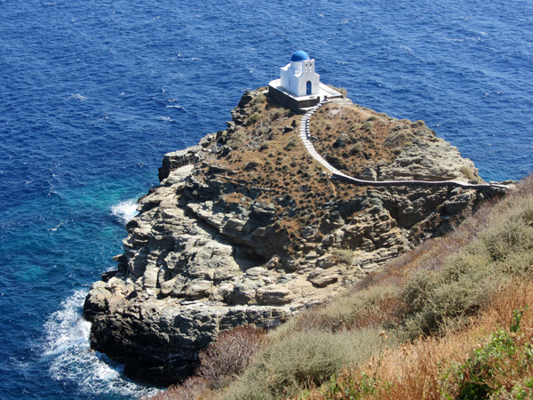
| iSifnos | |
| Latest version: 2016-10-17 | |
| A pictorial guide of Sifnos, in the Western Cyclades, featuring embedded maps, useful information, photos, and points of interest including beaches and utilities. Un guide visuel de Sifnos, dans les Cyclades de l'Ouest, comprenant des informations pratiques, des photos et des cartes utilisables hors connexion. | |
| Made in Switzerland for You! | |
| These apps are designed for iPhone, iPad, and iPod Touch. Get all our free apps, they are full of useful tips, smart ideas and spectacular snapshots! And please recommend them to your relatives, friends, colleagues, and customers! | |
| © 1988-2022 - All rights reserved | |
| Our iOS apps feature original and exclusive contents created by the non-profit cultural and touristic fusions.ch website. | |
| | |