 |
|

For a great view of the lake, you can stop at the Restoroute-Motel de la Gruyère, halfway between Lausanne and Bern on the A12 motorway.
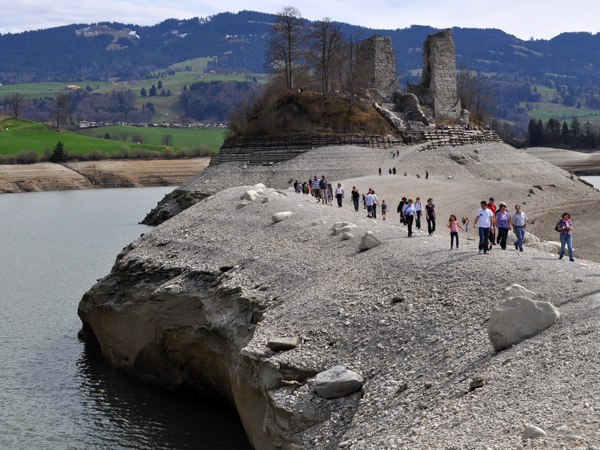
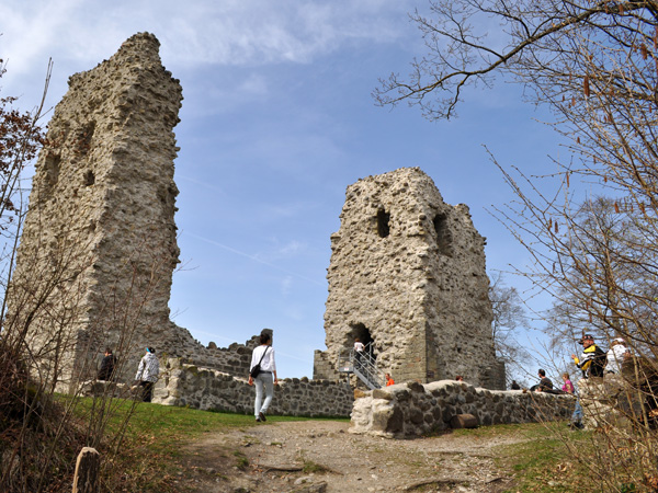
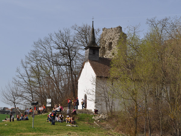
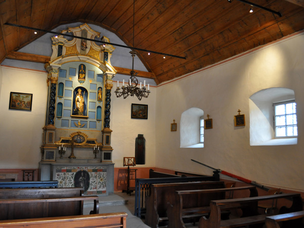
The island of Ogoz, to the north of the lake, is the last remnant of the former fortified village of Pont-en-Ogoz, which was drowned when the lake was formed. Located between Le Bry and Pont-la-Ville, there are a few remains including castle ruins and a chapel.
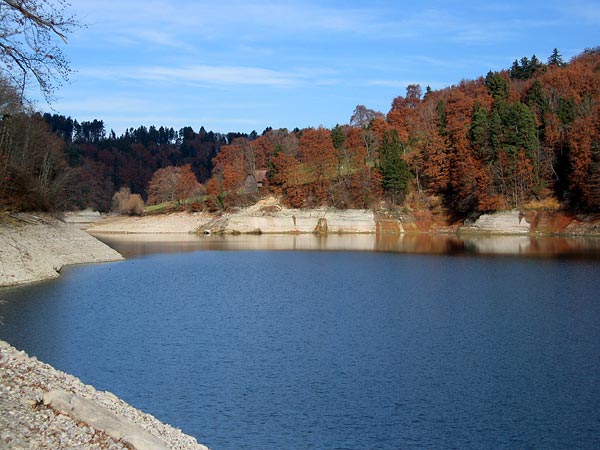
Completed in 1948 on the course of the Sarine, the Rossens dam is an arch dam 320m long and 83m high, representing a volume of 255,000 m3.
The Sarine is called Saane in German and gave its name to the Saanenland (region of Gstaad), otherwise known as the Gessenay, an eastern extension of the Pays-d'Enhaut. It is a 126km long river that runs longitudinally through the canton of Fribourg and has its source at the Sanetsch Pass, in the commune of Savièse, north of Sion (Valais).
To find out more, feel free to browse our pages devoted to the island of Ogoz, the legend of the Devil's Bridge, the Rossens dam and the Sarine.
(texts compiled from various sources, including Wikipedia and the Ogoz Island Association)